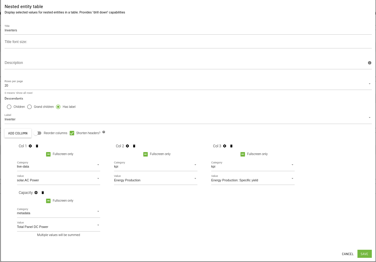
Card types
Gallery and card configuration options
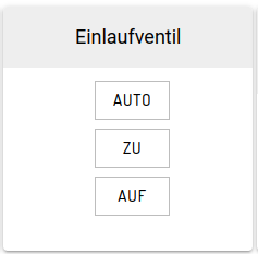
ButtonStack
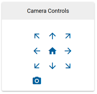
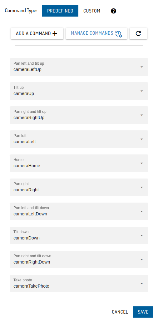
CameraControl
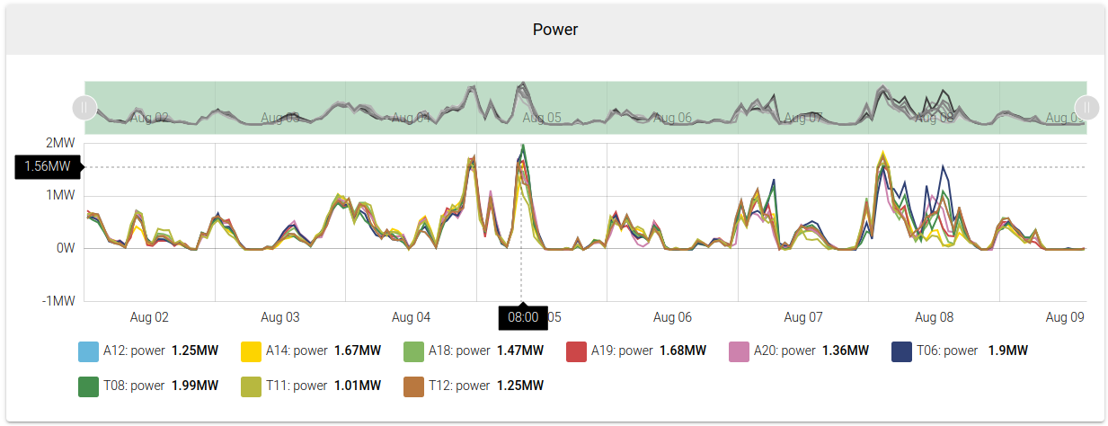
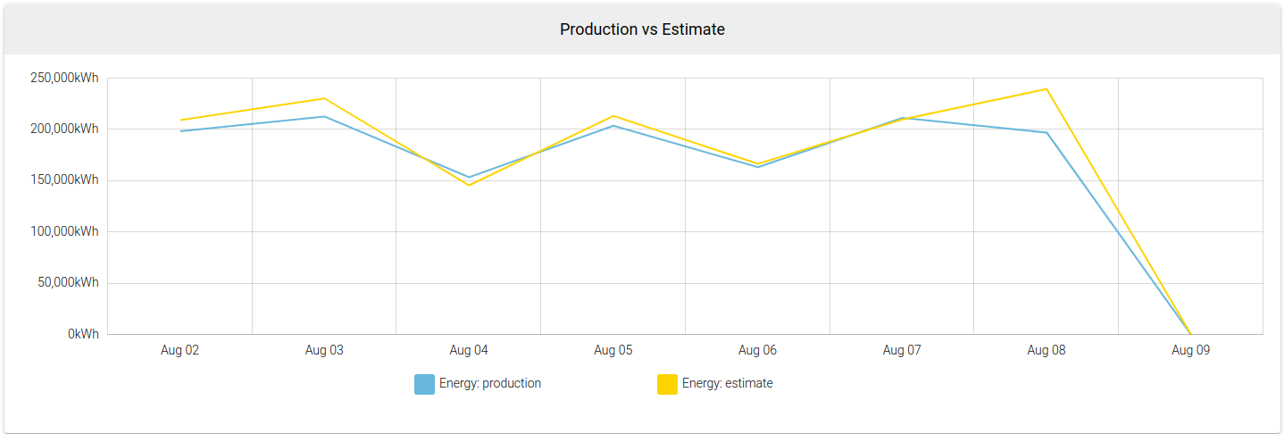
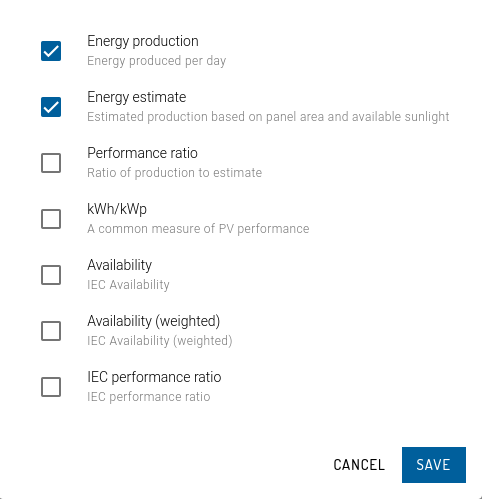
Chart
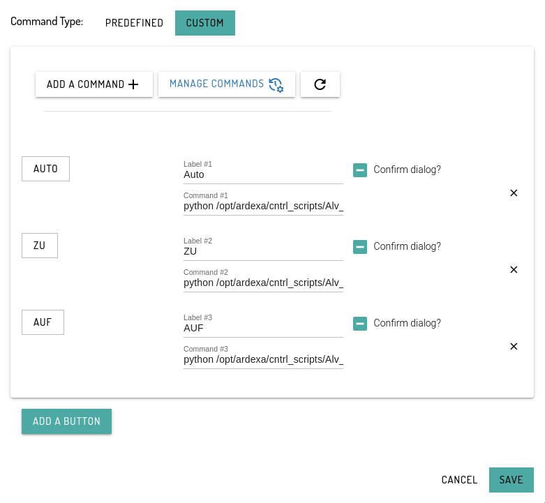
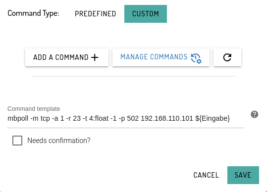
CommandTemplate
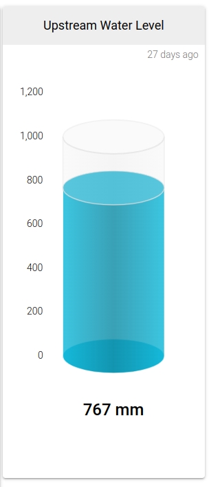
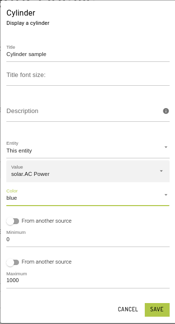
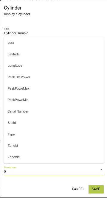
Cylinder
Min and Max Source
Set Minimum or Maximum values directly in the card config.
Another way is to toggle From another source and select the reference meta value.
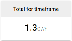
EnergySummary
EnergyTally
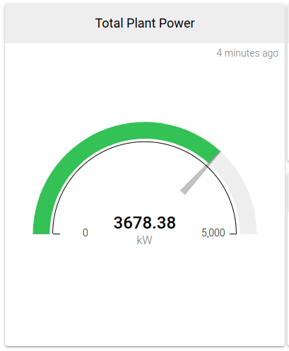
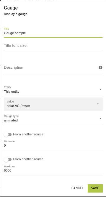
Gauge
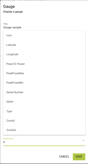
Min and Max Source
Set Minimum or Maximum values directly in the card config.
Another way is to toggle From another source and select the reference meta value.
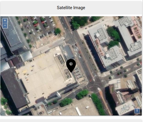
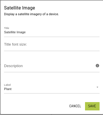
Satellite Image (in progress)
Display a satellite image of the device using the coordinates (latitude and longitude) set in the device general info tab.
Coordinates are based on the entity's device id. If the dashboard is a label entity, this would fetch the entity with the same label and map the device id.
HeatMap
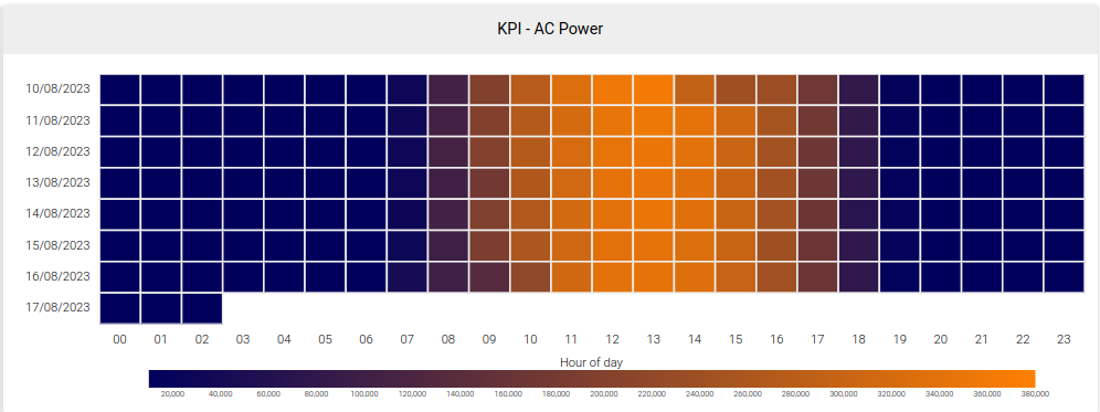
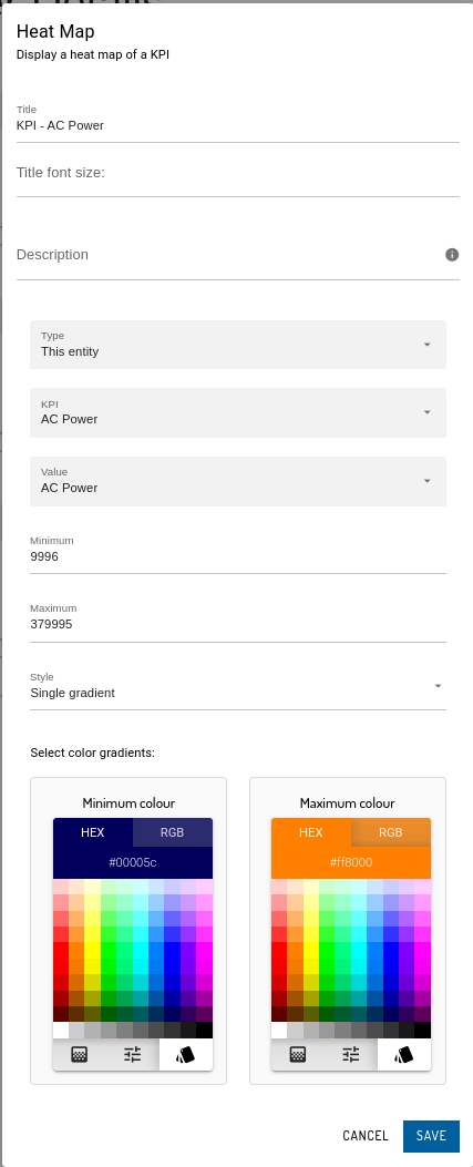
Single Entity Heatmap
This type of heat-map uses "This entity" to refer to a specific unit (e.g. Inverter 01) and render its KPI values for a specific time frame. X-axis is set as the Hour interval and Y-axis as the Date.
Style can be set to Single gradient, Triple gradient or RYG (Red, yellow, green).
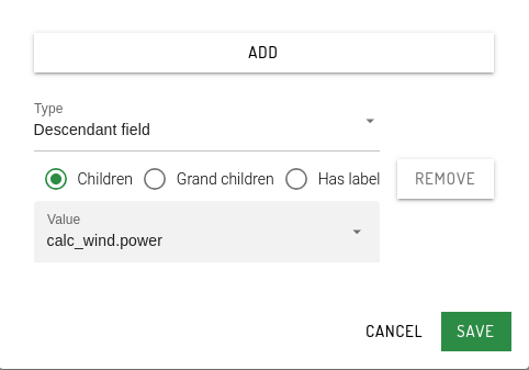
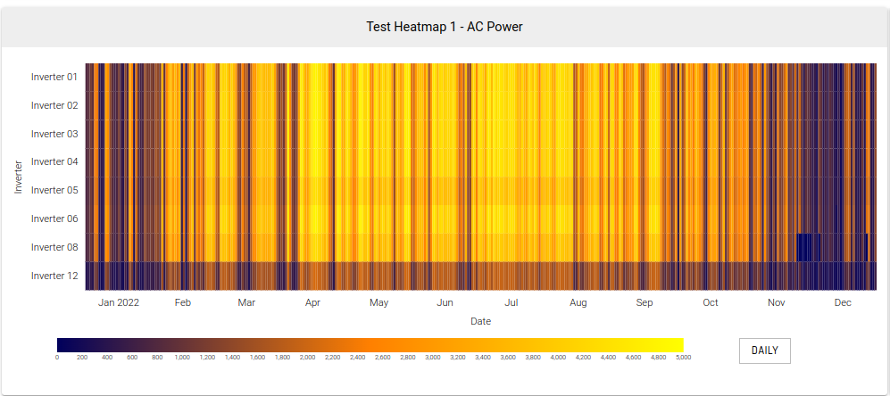
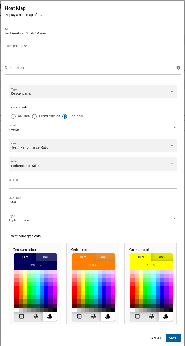
Multiple Entity (Descendants) Heatmap
This heat-map uses "Descendants" to refer to multiple entities (e.g. inverters/plants with labels as Inverter/Plant) and render their KPI values for a specific time frame. X-axis is set as the Date with 1 day interval and Y-axis as the entity name (Inverter 01 / [Plant name]).
The intervals are interchangeable. By default, it is set as Daily, and can also be set as Weekly or Monthly once the heatmap finished rendering. This heatmap is preferred to use the Triple gradient style.
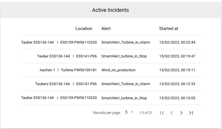
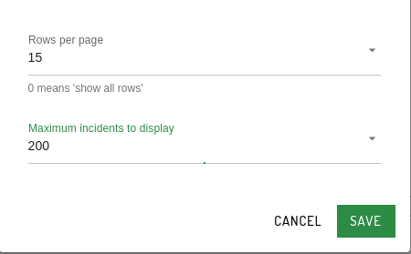
Incidents
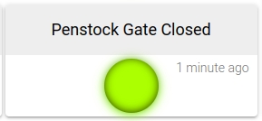
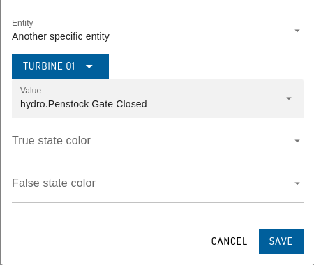
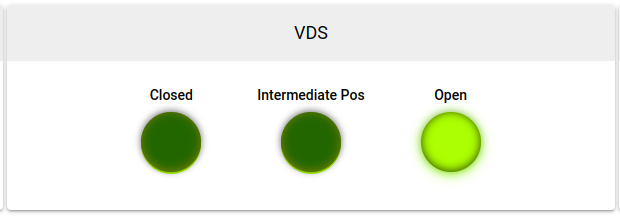
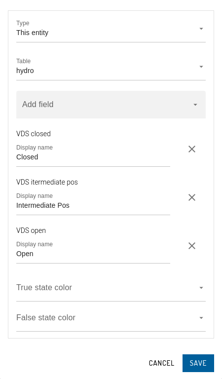
IndicatorLight
IndicatorLightTable
InverterPerformance
Has no configuration options.
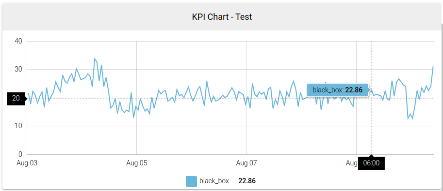
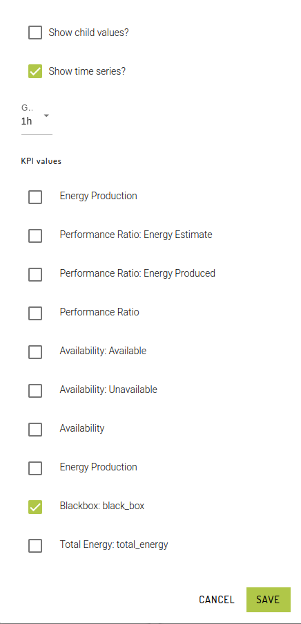
KpiChart
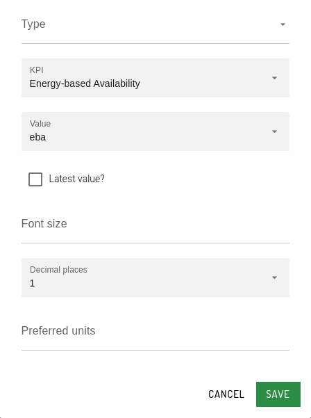
KpiValue
LatestValues
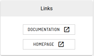
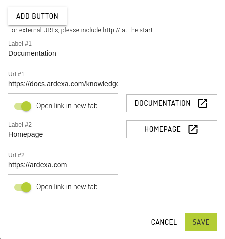
LinkStack
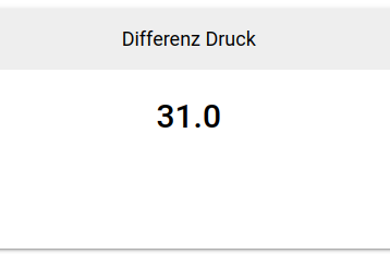
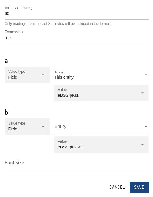
LiveCalculation
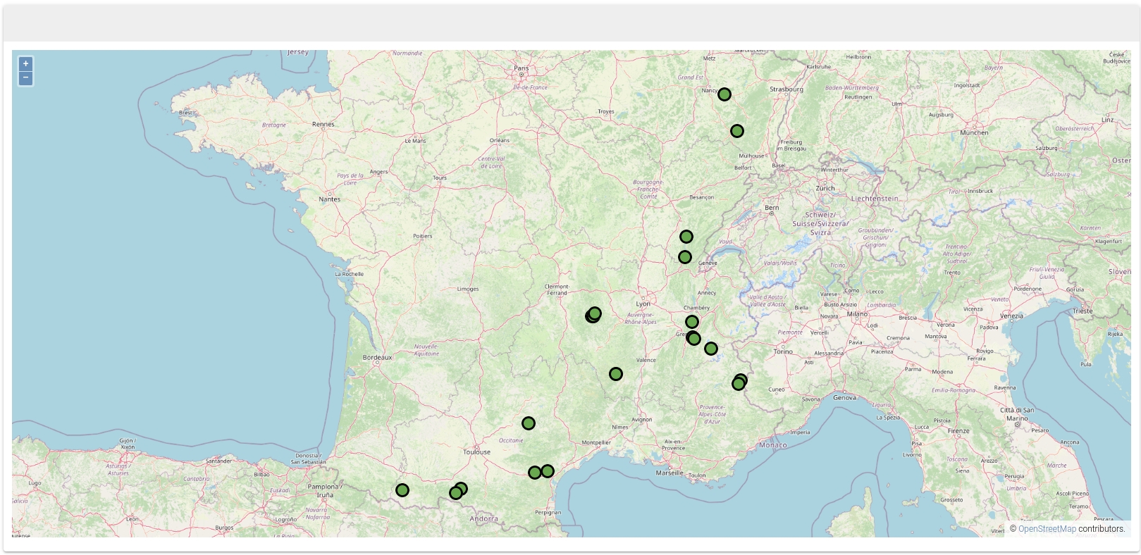
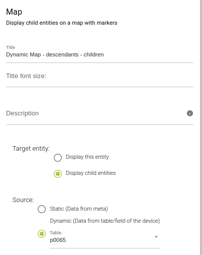
Map
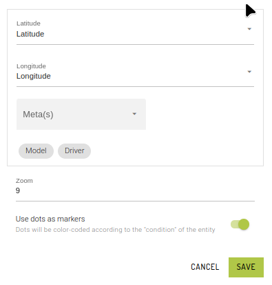
For Dynamic maps, we need to specify the latitude and longitude fields from the table specified.
Meta tags can also be selected as part of the marker (location) details.
Set the zoom level of the markers (dots location) and toggle between a target map or dots as markers.
Metadata
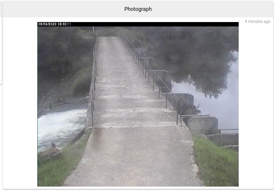
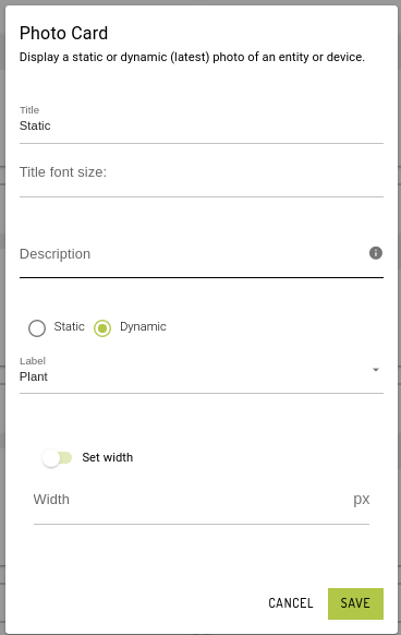
PhotoCard
Dynamic Photo Card
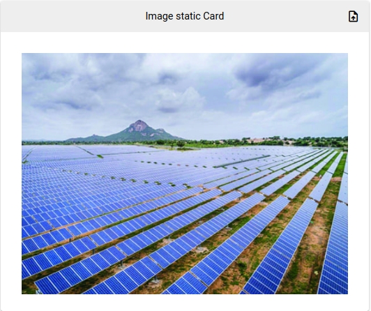
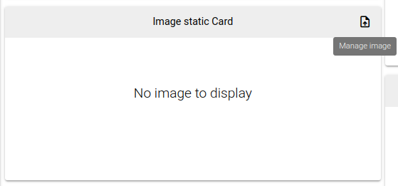
Static Photo Card
Upload static images directly into the card.
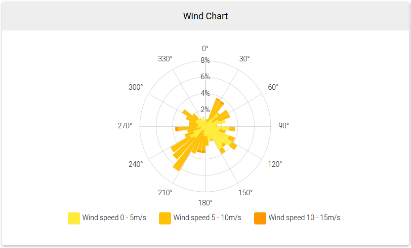
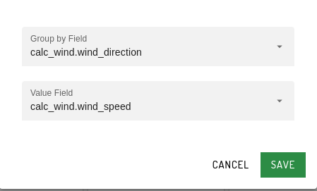
RadialHistogramChart
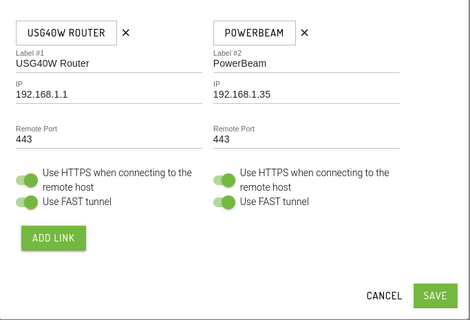
RemoteWeb
Satellite Image
Display a satellite image of the device using the coordinates (latitude and longitude) set in the device general info tab.
ScatterPlot
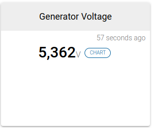
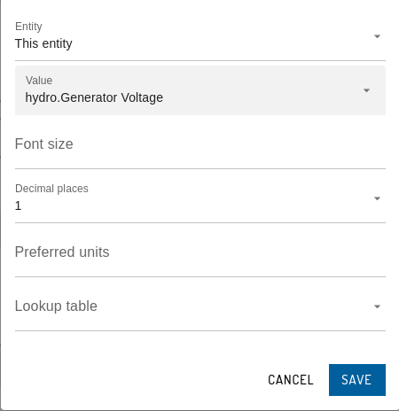
SingleValue
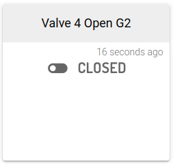
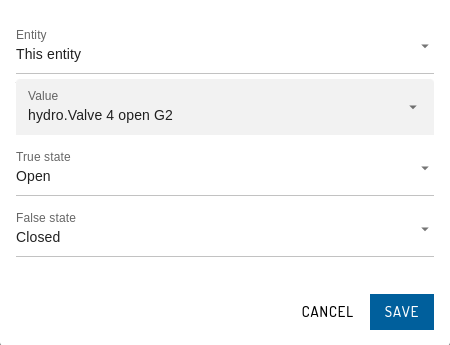
SwitchToggle
TextDynamic
TextStatic
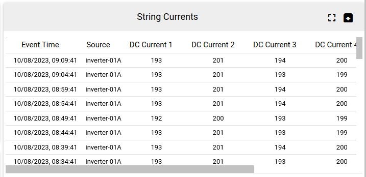
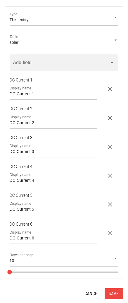
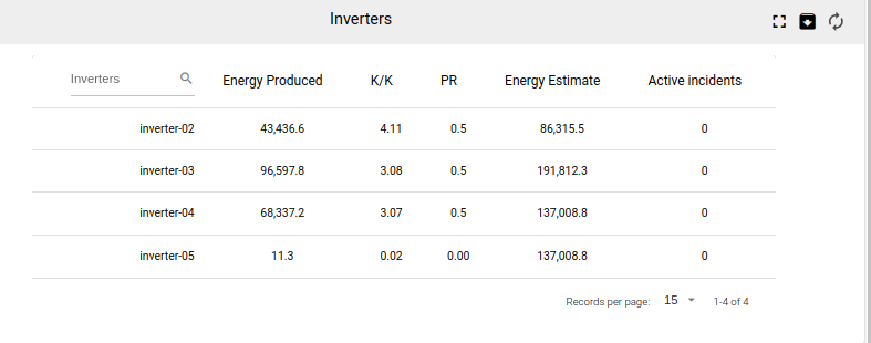
ValueTable
This card has, fuzzy search, full-screen, CSV download and data refresh capabilities
Last updated